Over twenty Western companies print or sell maps which violate Ukraine's territorial integrity
Detector Media published Mykola Holubei’s study on it.
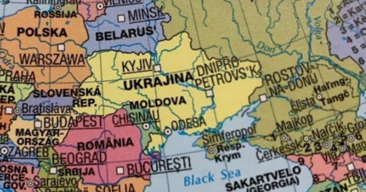
Foreign companies make at least six incorrect designations of Ukraine’s territory in different map formats.
1. Ukraine and Crimea are coloured in the same colour, but there is a dotted border between them.
2. Crimea is depicted simultaneously in the colours of Ukraine and Russia.
3. Crimea is shown as part of Russia.
4. Crimea is shown as a territory of Russia "claimed by Ukraine."
5. Crimea and the territories temporarily occupied in 2022 are separated from Ukraine by a dotted line.
6. Crimea is "physically" separated from Ukraine.
Google marks Crimea depending on the location of the user. The Ukrainian users see Crimea separated from Russia by a solid line and from Ukraine by a barely visible dotted line on Google Maps. The German users see Crimea separated from Ukraine and Russia by visible dotted lines.
Companies from the United States, United Kingdom, Germany, Austria, and Italy print or sell incorrect Ukraine maps.
The German company Mairdumont and its subsidiary brands mark temporary occupied territories of Ukraine as part of Russia on some maps after illegal "referendums."
Maps from Columbus Verlag (Germany), Raethgloben 1917 Verlags (Germany), Tecnodidattica Spa (Italy), Edizioni White Star (Italy), Kunth Verlag (Germany), Freytag-Berndt (Austria), Hallwag Kümmerly+Frey (Switzerland), Interkart (Germany), Stiefel Eurocart (Germany) also violate the territorial integrity of Ukraine.
The German subsidiary of Amazon and the online bookstore Bucher.de have maps with all kinds of Ukraine's territorial integrity violations.
The US-based National Geographic sells maps depicting Crimea as "disputed" or Russian territory.
British Maps Worldwide sells maps from the Russian publishing house AGT Geocenter.